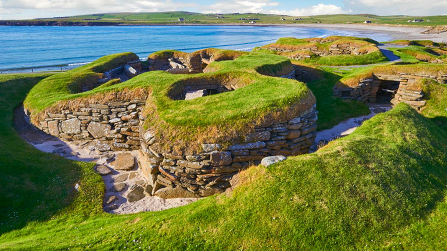
Climate change is usually discussed with words like “risk,” “loss,” “heat,” and “please stop buying houses in places that are actively on fire.” But archaeology has discovered a strange side effect: as glaciers melt, permafrost thaws, rivers shrink, reservoirs drop, and coastlines erode, long-hidden traces of human history are stepping back into the daylight. Some appear like gifts from a frozen time capsule. Others arrive like emergency alerts with dirt on their shoes.
These discoveries are not exactly good news. When an artifact melts out of ice or washes out of a coastal bluff, the clock starts ticking. Wood, leather, textiles, bone, plant fibers, and other fragile materials can decay quickly after being preserved for centuries or even thousands of years. In other words, the planet is opening ancient storage units, but it is also misplacing the keys and leaving everything in the rain.
Below are 15 real archaeological sites and landscapes revealed or newly exposed by climate-related processes, including glacier retreat, permafrost thaw, drought, heat waves, and falling water levels. Together, they show how climate change archaeology is rewriting what we know about ancient travel, trade, hunting, settlement, ritual life, and survival.
Why Climate Change Is Revealing Archaeological Sites
Archaeological sites are usually buried by time, soil, water, vegetation, or ice. Climate change changes those coverings. Melting glaciers and shrinking ice patches reveal organic objects that rarely survive in ordinary soil. Drought lowers lakes and rivers, exposing submerged towns, temples, bridges, and monuments. Heat waves create cropmarks, where buried walls and ditches affect how plants grow above them. Coastal erosion and thawing permafrost uncover settlements while also destroying them.
That is the awkward bargain: climate change can reveal archaeological treasures, but it often damages the very evidence it reveals. Archaeologists are not strolling into these places with a picnic basket and a magnifying glass. They are often racing storms, tourists, looters, erosion, mold, and the next warm season. Welcome to rescue archaeology, where history says, “Catch me if you can.”
15 Archaeological Sites Revealed By Climate Change
1. Lendbreen Ice Patch, Norway
Lendbreen, in Norway’s Jotunheimen mountains, is one of the clearest examples of how melting ice can reveal an entire lost landscape. As the ice patch shrank, archaeologists found hundreds of artifacts, including horseshoes, clothing fragments, sled remains, walking sticks, and evidence of pack-animal traffic. These finds showed that Lendbreen was not just a random icy slope where someone dropped a mitten and had a bad day. It was a busy mountain pass used for travel, trade, and seasonal movement for centuries, especially during the Viking Age and medieval period.
The site is important because it turns scattered objects into a story of human mobility. People crossed high mountains more often than many had assumed, moving goods and livestock through difficult terrain. Climate change did not create that history, but melting ice made it visible again.
2. Langfonne Ice Patch, Norway
Langfonne is another Norwegian ice patch that has transformed glacial archaeology. As the ice receded, archaeologists recovered dozens of ancient hunting artifacts, including projectile remains and other materials associated with reindeer hunting. Some finds date back thousands of years, making Langfonne one of the richest known ice-patch sites of its kind.
The site reveals a long relationship between people, animals, and mountain ice. Reindeer sought cool ice patches to escape insects during summer. Hunters understood that behavior and returned to these places across generations. Langfonne is not just about “old stuff in ice”; it is about ecological knowledge, seasonal strategy, and the way people adapted to mountain environments long before weather apps started confidently lying about tomorrow’s forecast.
3. Tisenjoch and Ötzi the Iceman, Italy-Austria Border
Ötzi the Iceman, discovered in 1991 in the Ötztal Alps near the Italy-Austria border, remains one of the most famous ice discoveries in the world. His naturally preserved body, clothing, tools, and equipment offered an extraordinary view into Copper Age life more than 5,000 years ago. While researchers continue to refine the details of how his body was preserved and exposed, his discovery became a landmark moment for glacier archaeology.
Ötzi showed what ice can preserve when conditions are right: skin, clothing, plant materials, and personal belongings that would almost never survive elsewhere. He also made one thing very clear: when ice retreats, history can appear suddenly, dramatically, and with enough scientific paperwork to make a museum curator miss lunch.
4. Schnidejoch Pass, Switzerland
In the Bernese Alps of Switzerland, melting ice at Schnidejoch Pass exposed hundreds of artifacts from different periods, including the Neolithic, Bronze Age, Roman era, and medieval centuries. Finds include fragments of clothing, leather, wooden objects, and travel-related materials. The site helped archaeologists understand that high Alpine passes were used repeatedly during warmer periods when routes became more accessible.
Schnidejoch is valuable because it shows climate and movement working together. When ice retreated in the past, people moved through these mountain corridors; when ice expanded, routes became more difficult. Today’s warming is revealing evidence of those older cycles, but at a speed that leaves conservation teams scrambling.
5. Yukon Ice Patches, Canada
The Yukon Ice Patches in northwestern Canada have preserved thousands of years of Indigenous history. As patches of ancient ice melt, archaeologists and First Nations partners have recovered hunting tools, wooden objects, animal remains, and materials that preserve direct evidence of high-country land use. Some artifacts are many thousands of years old.
These discoveries are especially important because they connect archaeological science with Indigenous knowledge. The ice patches were not empty wilderness; they were meaningful places within cultural landscapes. The Yukon finds reveal careful understanding of animals, terrain, seasons, and materials. Climate change is exposing that record, but it also threatens to erase fragile organic objects before they can be studied and returned to community care.
6. Wrangell-St. Elias Ice Patches, Alaska
In Alaska’s Wrangell-St. Elias region, melting ice patches have revealed ancient artifacts preserved in cold mountain environments. Researchers have documented items connected to travel and subsistence, including organic materials that would normally decay quickly outside frozen conditions. These finds show that high-altitude ice patches in Alaska were part of long-term human activity, not empty backdrops for dramatic nature documentaries.
The urgency is real. Once an artifact melts out, sunlight, oxygen, rain, animals, and freeze-thaw cycles begin breaking it down. Alaska is warming rapidly, and archaeologists often have only a short window to document and preserve what appears. The result is a high-stakes archaeological treasure hunt, minus the movie soundtrack and plus a lot more paperwork.
7. Chilkoot Trail Ice Patches, Alaska and Canada
The Chilkoot Trail is famous for the Klondike Gold Rush, but its history goes much deeper. Long before stampeders struggled over the pass with heavy supplies, Indigenous traders used the route between the coast and the interior. Warming temperatures and shrinking ice patches along the trail have exposed artifacts and environmental clues connected to both Indigenous travel and later historic use.
This site is a reminder that climate change can reveal layered histories. A single trail may contain evidence of trade, migration, colonial disruption, gold fever, survival, and spectacularly poor packing decisions. As ice retreats, archaeologists can better understand how people moved through the landscape over time, but they also must protect materials that are suddenly vulnerable.
8. Nunalleq, Alaska
Nunalleq, near Quinhagak in southwest Alaska, is a pre-contact Yup’ik archaeological site preserved in permafrost. Thawing ground and coastal erosion have exposed an extraordinary collection of artifacts, including wooden masks, tools, baskets, toys, and household objects. These finds have helped illuminate Yup’ik life, artistry, technology, and oral traditions before sustained European contact.
Nunalleq is also one of the clearest examples of climate change as both revealer and destroyer. Permafrost once protected the site; now thaw, storms, and shoreline erosion are damaging it. Community-led archaeology has been essential, showing how local knowledge and scientific research can work together. The site is not merely a collection of objects. It is cultural memory emerging from the ground under emergency conditions.
9. Mongolian Altai Ice Patches
In Mongolia’s Altai Mountains, melting ice patches have revealed fragile artifacts linked to ancient hunting and pastoral life. Researchers have found organic materials preserved in ice, along with animal remains that help reconstruct past environments. These discoveries challenge simple assumptions about ancient Mongolian societies by showing how people used mountain zones in diverse ways.
The Altai finds are especially useful because they combine archaeology with environmental data. Ice patches preserve not only human-made objects but also ecofacts such as animal bones, plant remains, and other clues about changing habitats. Climate change is exposing this archive, but it is also degrading it. The mountain freezer is defrosting, and nobody can press “pause.”
10. Kemune, Iraq
Severe drought in Iraq lowered water levels in the Mosul Dam reservoir, revealing the Bronze Age city of Kemune, believed to be ancient Zakhiku, linked to the Mittani Empire. Archaeologists documented walls, towers, storage buildings, and cuneiform tablets during brief windows when the site emerged from the water.
Kemune is a dramatic case of drought archaeology. The city had been submerged for decades, and when the reservoir dropped, researchers had to act quickly before water returned. The discovery offers rare insight into an ancient Mesopotamian urban center, including architecture and written records. Climate-driven drought made the excavation possible, but the same instability creates major preservation challenges. Ancient cities, apparently, do not enjoy being repeatedly dunked like cookies in tea.
11. Dolmen of Guadalperal, Spain
The Dolmen of Guadalperal, often nicknamed the “Spanish Stonehenge,” is a prehistoric megalithic monument in western Spain. It was submerged after the creation of the Valdecañas reservoir in the 20th century, but drought and falling water levels have repeatedly exposed it, most famously in recent years.
The monument includes standing stones arranged in a circular or oval plan, and it likely served ritual or funerary purposes. Its reappearance has fascinated archaeologists and visitors, but it is not a simple success story. Repeated submersion and exposure can damage stone surfaces, weaken structures, and complicate conservation. Climate change did not build the dolmen, but drought has pulled back the curtain on it again.
12. Brú na Bóinne Henge Near Newgrange, Ireland
During the 2018 heat wave and drought in Ireland, drone photography revealed the outline of a previously unknown prehistoric henge near Newgrange in the Brú na Bóinne landscape. The discovery appeared as cropmarks: differences in plant growth caused by buried archaeological features beneath the field.
This find is a perfect example of how drought can make the invisible visible. Buried ditches may hold more moisture, while buried walls may dry soil faster, producing patterns that can be seen from above. The Newgrange-area henge added new detail to an already famous ritual landscape. It also proved that drones and dry grass can make a surprisingly powerful archaeological team.
13. Roman and Iron Age Cropmarks in Wales
The same 2018 heat wave revealed numerous archaeological cropmarks across Wales. Aerial surveys documented traces of Roman structures, Iron Age settlements, prehistoric farms, enclosures, and other buried features. Some sites were known but became clearer; others were newly identified.
Cropmark archaeology is wonderfully sneaky. Nothing may be visible at ground level, but from the air, the land suddenly sketches old walls, roads, and ditches like a ghost with excellent drafting skills. Heat and drought stress crops unevenly, making buried features stand out. These discoveries expanded understanding of settlement patterns in Wales and showed how climate extremes can briefly turn farmland into an archaeological map.
14. St. Thomas, Lake Mead, Nevada
St. Thomas, Nevada, was abandoned in the 1930s when Lake Mead filled after the construction of Hoover Dam. For decades, the town was underwater. As drought lowered Lake Mead’s water levels, foundations, roads, and other remains became visible again, allowing visitors and researchers to walk through parts of the former settlement.
St. Thomas is not ancient in the way a Neolithic monument is ancient, but it is archaeological in the sense that material remains tell the story of a community, displacement, water management, and the American West. Its exposure reflects drought in the Colorado River system, intensified by warming and heavy water demand. The town is a reminder that archaeology is not only about distant civilizations; sometimes it is about recent history resurfacing with a desert tan.
15. S.S. Brookhill Shipwreck, Mississippi River, Louisiana
Low water levels in the Mississippi River exposed the remains of the S.S. Brookhill, a ferry that sank in 1915 near Baton Rouge. Drought conditions made the shipwreck more visible and accessible, giving archaeologists a chance to study a historic river vessel that had spent much of its afterlife hidden below the waterline.
Shipwrecks are archaeological sites too. They preserve information about transportation, trade, engineering, local economies, and daily life. The Brookhill’s reappearance also raised concerns about looting and damage, because exposed sites attract curiosity quickly. Climate-driven extremes can bring the past to the surface, but preservation depends on whether people treat that past as heritage rather than a free souvenir shelf.
What These Climate-Revealed Sites Teach Us
The most important lesson is that climate change archaeology is not a treasure hunt in the cheerful sense. It is a race to document disappearing evidence. Many of the most exciting finds are made from organic materials: wood, leather, bark, plant fiber, textiles, bone, antler, and food remains. These materials can survive beautifully in ice, permafrost, or waterlogged conditions. Once exposed, they can collapse quickly.
The second lesson is that ancient people were more mobile and adaptable than old stereotypes suggest. Mountain passes such as Lendbreen and Schnidejoch show travel across challenging terrain. Ice patches in Norway, Yukon, Alaska, and Mongolia reveal detailed knowledge of animal behavior and seasonal landscapes. Drought-revealed cities and monuments show how water management, ritual life, trade, and settlement were deeply tied to climate conditions.
The third lesson is uncomfortable: today’s climate change is speeding up the loss of cultural heritage. Archaeologists are gaining information, but often because protective environments are failing. Every discovery comes with a conservation problem attached, like getting a birthday gift that immediately catches fire.
Experiences Related to Archaeological Sites Revealed By Climate Change
Visiting or studying climate-revealed archaeological sites creates a strange emotional mix. There is wonder, because few things feel more magical than seeing the outline of a vanished settlement appear in a field or learning that a wooden object survived in ice for thousands of years. There is also sadness, because many of these discoveries happen only when the environment that protected them is breaking down.
For travelers, the best experience begins with respect. A place like St. Thomas at Lake Mead may look like a walkable ghost town, but it is still a protected historic site. A drought-exposed shipwreck may look tough, but old wood can be fragile. A stone monument revealed by a reservoir may seem ready for dramatic photos, but repeated exposure can weaken it. The golden rule is simple: look, photograph, learn, and leave everything where it is. The past is not a gift shop.
For students and history lovers, these sites offer an exciting way to connect climate science with human stories. Climate change can feel abstract when discussed only through graphs, temperature averages, and policy debates. Archaeology gives it texture. A melting ice patch is not just a statistic; it is a place where someone once traveled, hunted, traded, or lost something important. A drought-exposed town is not just a water-level marker; it is evidence of homes, schools, roads, and community choices.
For local and Indigenous communities, the experience can be even more personal. Sites like Nunalleq and the Yukon Ice Patches are not simply research locations. They are connected to living cultures, oral histories, ancestral knowledge, and identity. The most responsible archaeology today increasingly works with communities rather than treating heritage as material to be extracted. That collaborative approach matters because the objects are not just “artifacts.” They are pieces of memory.
For archaeologists, climate-revealed sites create practical pressure. Teams must decide what to record first, what to conserve, what to leave, and how to protect places that may be exposed only briefly. Some sites reappear for a few weeks before water returns. Others degrade season by season. The work requires drones, mapping tools, conservation labs, community partnerships, emergency funding, and patience. Also, probably snacks. Archaeology seems glamorous until you realize how much of it involves mud, forms, and weather that refuses to cooperate.
For readers, the takeaway is both thrilling and sobering. Climate change is revealing hidden chapters of human history, but it is not doing so gently. The same forces that expose archaeological sites can destroy them. These discoveries remind us that the past is not safely locked away. It is part of the living landscape, affected by the same warming, drying, flooding, and erosion that shape our present. When ancient places appear, they ask us to pay attentionnot only to where we came from, but to what kind of future will be left for the people who come after us.
Conclusion
The 15 archaeological sites revealed by climate change show that history is never as buried as we think. From Viking-age mountain routes and Alpine ice finds to drought-exposed cities, henges, ghost towns, and shipwrecks, climate change is uncovering evidence that expands our understanding of human life across time. But these discoveries come with a warning label in very large print: what is revealed can also be lost.
Melting ice, thawing permafrost, and shrinking rivers are not gentle museum curators. They expose artifacts suddenly, often leaving archaeologists and communities to rescue fragile evidence before decay, erosion, or human interference damages it. The best response is not treasure-hunting excitement alone, but careful preservation, community partnership, and climate awareness.
Note: This article is original, web-ready content based on verified archaeological and climate-related information from reputable institutional, scientific, and historical reporting sources. It intentionally avoids citation placeholders and unnecessary publishing artifacts.